Introduction
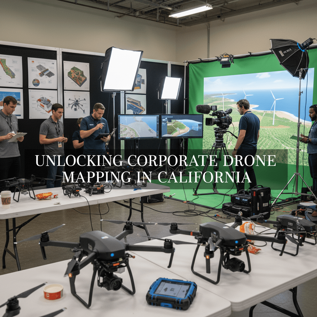
Corporate drone mapping is reshaping how business gets done across California—from the verdant Central Valley to the bustle of Silicon Valley. By harnessing unmanned aerial vehicles (UAVs) fitted with advanced GPS and imaging technology, companies gain access to high-resolution, real-time aerial data for smarter decision-making and more efficient operations.
Drones today are more than eyes in the sky—they’re powerful tools delivering actionable insights across construction, agriculture, real estate, and environmental monitoring. In California’s innovation-driven economy, corporate drone mapping has moved from experimental to essential, reducing costs, improving accuracy, and keeping people out of harm’s way.
This blog post explores how business drone mapping is transforming enterprise performance, the technology behind it, where it delivers the most value, the regulatory landscape in California, what’s coming next, and how you should choose your drone mapping partner.
Section 1: Understanding corporate drone mapping
What is corporate drone mapping?
Corporate drone mapping is the commercial use of drones—small, remotely piloted aircraft—to capture detailed images and spatial data from above. These images, combined with GPS coordinates, are processed into accurate, up-to-date maps and 3D models. This is far more than photography—it’s precision aerial surveying, geospatial analysis, and site intelligence rolled into one.
Behind every corporate drone mapping project are three core technologies:
- GPS: Ensures every image is correctly geo-referenced, so maps align perfectly with real-world coordinates.
- Advanced Imaging: Techniques like photogrammetry stitch hundreds of photos into seamless, high-resolution maps. LiDAR (Light Detection and Ranging) uses lasers to create exact 3D surface models, revealing details invisible to the naked eye.
- Cloud-Based Processing: Platforms such as DroneDeploy and Maps Made Easy turn raw drone data into orthomosaic images, digital elevation models, and volumetric reports—ready for analysis anywhere, anytime.
California’s diverse terrain—its sprawling farms, rugged coastlines, urban jungles, and wildfire-prone forests—makes it an ideal laboratory for drones. Here, commercial drone mapping isn’t just a novelty; it’s a competitive necessity, accelerating projects, reducing risks, and unlocking new possibilities for businesses willing to look up.
For businesses, this means replacing slow, costly, and sometimes dangerous traditional surveys with rapid, repeatable, and precise drone flights—delivering data that’s as strategic as it is visual.
Section 2: Benefits of corporate drone mapping for businesses
Advantages of using drones for mapping
Why are California companies turning to drones? The advantages are clear, measurable, and growing every year.
- Cost Savings: Drone mapping slashes expenses. Traditional land surveys require crews, heavy equipment, and days—even weeks—of fieldwork. A single drone flight can cover the same area in hours, with far fewer people involved. This means lower labor costs, faster project starts, and more frequent updates—critical for industries like construction and agriculture, where time is money.
- Accuracy and Efficiency: Modern drones capture centimeter-level detail, eliminating guesswork and human error. For construction, this means exactly tracking earthwork volumes. For farmers, it’s about spotting irrigation issues before they hurt yields. For real estate, it’s delivering striking, accurate visuals that sell properties faster.
- Real-Time Data Processing: Cloud platforms like DroneDeploy—born in San Francisco—allow teams to view, analyze, and share maps instantly. Project managers can spot issues on-site before they grow into costly problems. Agronomists can monitor crop health daily, not weekly. Everyone stays informed, and decisions get smarter, faster.
- Safety First: Drone mapping keeps workers out of danger. Instead of sending teams onto unstable roofs, into fire zones, or across flooded fields, businesses deploy drones. Hazardous inspections become routine, with no risk to human life.
- Environmental Impact: Fewer trucks, less fuel, less disruption—drone mapping is simply greener. That matters in California, where sustainability is both a value and a regulation.
Corporate drone mapping isn’t just an upgrade—it’s a reinvention of how businesses see, understand, and act on the world below.
Section 3: Applications of corporate drone mapping in various industries
Industries utilizing drone mapping in California
California’s economy is as varied as its landscape, and drone mapping is making waves in every major sector. Here’s how:
Construction
- Site Surveys and Monitoring: Drones capture weekly progress photos, track earthmoving, and create 3D models for clash detection and planning. No more guessing how much material has been moved or where delays are emerging.
- Volumetric Measurements: Calculate stockpile volumes with pinpoint accuracy—no climbing, no guessing, just data.
- Damage Inspection: After storms or accidents, drones safely document damage for insurance and repair planning.
Agriculture
- Crop Health Monitoring: Specialized cameras detect plant stress invisible to the human eye, helping farmers target water, fertilizer, and pest control where it’s needed most.
- Irrigation Planning: Drones map soil moisture and drainage patterns, optimizing water use—a top priority in drought-prone California.
- Yield Prediction: By analyzing growth patterns, drones help predict harvests, manage labor, and plan sales.
Real Estate
- Aerial Marketing: Stunning drone photos and videos showcase properties from angles impossible on the ground, accelerating sales and attracting premium buyers.
- Site Planning: Developers use drone maps to visualize terrain, plan infrastructure, and communicate with stakeholders.
Environmental Monitoring
- Ecosystem Surveys: Drones map forests, wetlands, and coastlines, tracking changes over time and spotting environmental risks early.
- Wildfire Management: Agencies use drones to map fire perimeters, assess damage, and plan recovery—safely, swiftly, and at scale.
These are not hypotheticals. California companies are already seeing results:
- DroneDeploy powers 3D site modeling for Silicon Valley tech campuses and urban developments, keeping projects on time and under budget.
- Ceres Imaging delivers precision agriculture analytics to California’s vast farms, boosting sustainability and profits.
- Birds Eye Aerial Drones helps realtors and developers market properties with cinematic aerial visuals that stand out in crowded markets.
- AeroVironment equips fire crews with autonomous drones for rapid wildfire assessment and response.
In every case, business drone mapping turns overhead views into ground-level advantages, giving California companies the edge they need in a fast-moving world.
Section 4: Regulations and compliance for drone operations in California
Navigating legal requirements for drone mapping
Drones offer powerful capabilities, but flying them commercially in California comes with important rules. Ignoring these can lead to fines, liability, and even grounded operations.
Federal Regulations (FAA Part 107)
- All commercial drone pilots must be FAA-certified under Part 107.
- Drones must weigh less than 55 pounds (25 kg).
- Maximum altitude is 400 feet above ground level.
- Pilots must keep the drone in sight at all times (no “beyond visual line of sight” without special approval).
- Drones cannot fly over people not involved in the operation, moving vehicles, or near other aircraft.
- Night operations and flights over certain sensitive areas require additional waivers.
California-Specific Rules
- Privacy Laws: California has strict rules about recording images of people or private property without consent. Always get permission before flying over homes, businesses, or sensitive sites.
- Local Permits: Cities and counties may have their own rules—especially near airports, parks, or critical infrastructure. Check before you fly.
- Insurance: Most commercial operators carry liability insurance, and many clients require it.
Best Practices for Compliance
- Hire only FAA-certified drone pilots—look for credentials and experience.
- Confirm your provider understands both federal and California laws.
- Always secure necessary permits and permissions—especially for real estate, construction, or environmental projects.
- Keep records of all flights, including images, flight paths, and pilot certifications.
For the latest on FAA and California drone regulations, visit the FAA website and the California Department of Transportation.
Section 5: Future trends in corporate drone mapping
Innovations and advancements on the horizon
The drone mapping industry is moving fast—faster, perhaps, than any other field in aerial technology. What’s coming next will make today’s capabilities look quaint.
AI and Machine Learning
- Drones are getting smarter. AI algorithms can automatically detect cracks in pavement, count trees, estimate crop yields, and flag safety hazards—instantly.
- Machine learning helps drones “learn” from each flight, improving accuracy and spotting patterns humans might miss.
Better Sensors and Imaging
- LiDAR is becoming lighter, cheaper, and more precise, allowing drones to map beneath forest canopies or inside complex structures.
- Multispectral and hyperspectral cameras reveal chemical compositions, moisture levels, and plant health indicators beyond visible light.
Autonomy and Drone Swarms
- Fully autonomous drones—able to plan, fly, and land without human input—are already in testing.
- Companies like Notus Autonomous Systems are building drone swarm systems for high-efficiency flight operations.
Integration with IoT and 5G
- Drones linked to the Internet of Things (IoT) can relay data in real time to dashboards, mobile apps, and control centers.
- 5G networks will enable ultra-fast, reliable communication between drones and their operators, even in dense urban environments.
The future of corporate drone mapping is autonomous, intelligent, and deeply integrated into every aspect of business operations. Companies that adopt these tools early will lead their industries—in California and beyond.
Section 6: How to choose a corporate drone mapping service
Selecting the right partner for drone mapping
Not all drone mapping providers are the same. Choosing wisely can mean the difference between a smooth, successful project and a costly disappointment.
Key Factors to Consider
- Experience: Look for a provider with a proven track record in your industry. Ask for case studies and client references.
- Technology: Ensure they use modern drones with the right sensors and compatible software like DroneDeploy or Maps Made Easy.
- Certifications: Only work with FAA Part 107 certified pilots. Verify insurance coverage and any additional permits required.
- Data Delivery: The best providers offer cloud-based data sharing, 3D models, and easy-to-understand reports—not just raw images.
- Customer Support: Responsive, knowledgeable support is essential, especially for complex or time-sensitive projects.
Top California drone mapping companies—like AeroViews, FlyGuys, and Birds Eye Aerial Drones—combine technical expertise with deep local knowledge, ensuring your project meets both your goals and regulatory requirements.
For a full list of leading drone companies in the state, here’s a handy directory.
Conclusion
Corporate drone mapping is no longer the future—it’s the present. Across California, from Silicon Valley startups to Central Valley farms, businesses are using drones to work smarter, safer, and faster. The benefits—cost savings, accuracy, real-time insights, and safety—are real and growing.
Regulations are clear, technology is advancing rapidly, and the range of applications is expanding every year. Choosing the right drone mapping partner is critical, but the rewards—efficiency, precision, and competitive advantage—are worth the effort.
California has always been a land of innovation. With corporate drone mapping, the sky is no longer the limit—it’s the starting point. For businesses ready to rise above the competition, the time to act is now.
Corporate drone mapping in California is here. Lift off, and lead the way.
Want to talk about your corporate films? Book a call here